More and more people are enjoying walks through historic cities, castle towns, and traditional urban areas while comparing the places they see today with historical maps and wondering what once stood there during the Edo period and other earlier times.
Although historical maps were not created through modern surveying methods, Maplat makes it possible to overlay them onto present-day maps and display the user’s location using GPS.

Examples
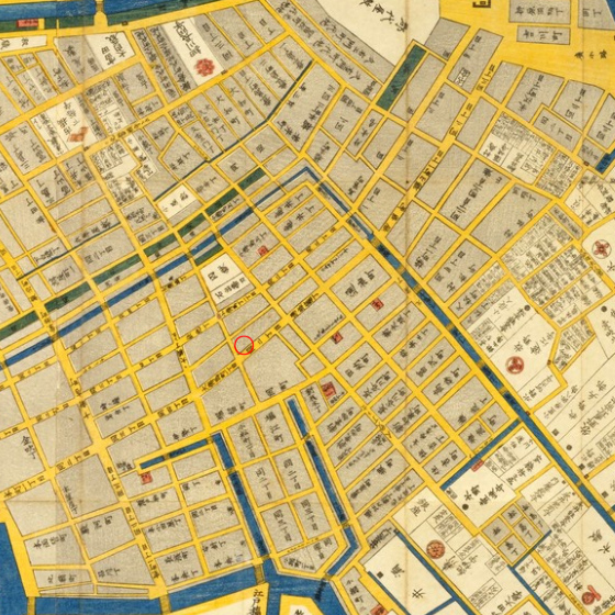
Yamato-Koriyama Time Trip Map
Yamato-Koriyama Historical Society
FY2023 Yamato-Koriyama City Community Development Idea Support Program
Around 1860 (Ansei era)
The Yamato-Koriyama Historical Society also organizes guided town-walking tours based on this project.
https://www.nstudio.jp/yktt_entrance.html
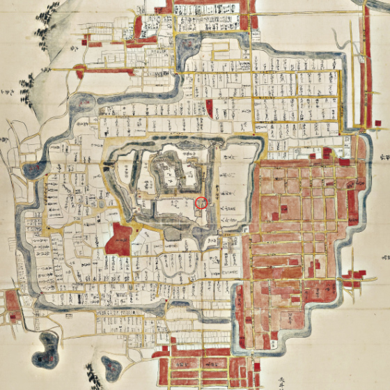
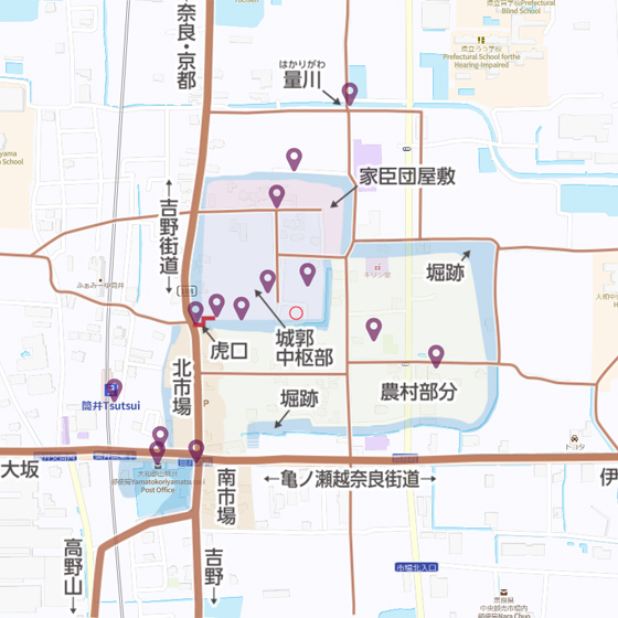
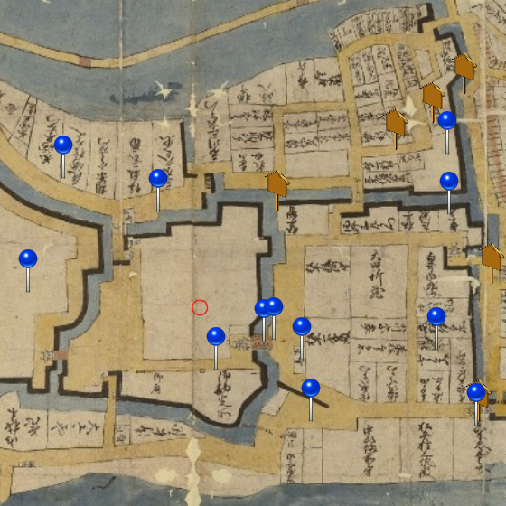
Tsutsui Castle Ruins Map
Yamato-Koriyama Historical Society
FY2023 Yamato-Koriyama City Community Development Idea Support Program
Tomiogawa Shichigai Water Dispute Settlement Map (1690), Koriyama Town History Supplementary Map (1952)
https://www.nstudio.jp/yktt_tsutsui.html
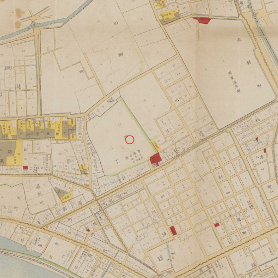
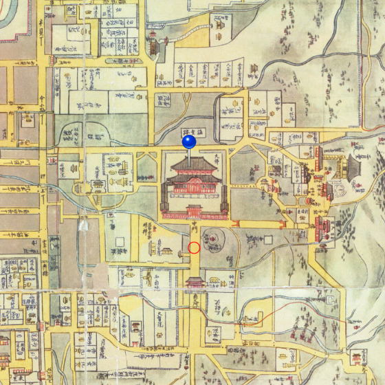
GEO-ten Exhibition 2023 Area Map (Minato City, Tokyo)
Code for History
1907 (Meiji 40)
https://s.maplat.jp/r/geotenmap/
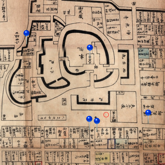
Plat Tatebayashi
Code for History
Tsunayoshi era, Akimoto era, and others
https://s.maplat.jp/r/tatebayashimap/

Plat Mito
Code for History
Edo period, 1661 (Manji 4), 1890 (Meiji 23), 1915 (Taisho 4), and others
https://s.maplat.jp/r/mitomap/
Plat Aizu-Wakamatsu
Code for History
Kato family period, Hoshina family period, Kyoho period, Boshin War period, and others
https://s.maplat.jp/r/aizumap/
Plat Nara
Code for History
Around the Kyoho era, 1844 (Tempo 15), 1889 (Meiji 22), 1917 (Taisho 6), and others
https://s.maplat.jp/r/naramap/
Plat Chuo City, Tokyo
Code for History
Edo period, Meiji period, and others
https://s.maplat.jp/r/chuokumap/